Project Overview
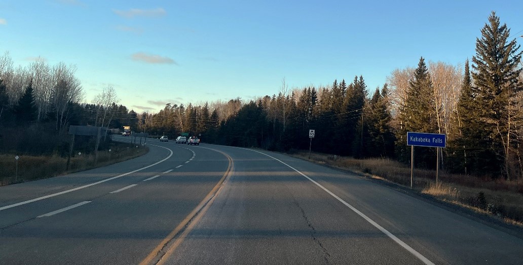
The Ontario Ministry of Transportation (MTO) has retained WSP Canada Inc. to complete the preliminary design and environmental assessment for Highway 11/17 widening to four lanes from Kakabeka Falls easterly to Thunder Bay Expressway, as shown in the map below.
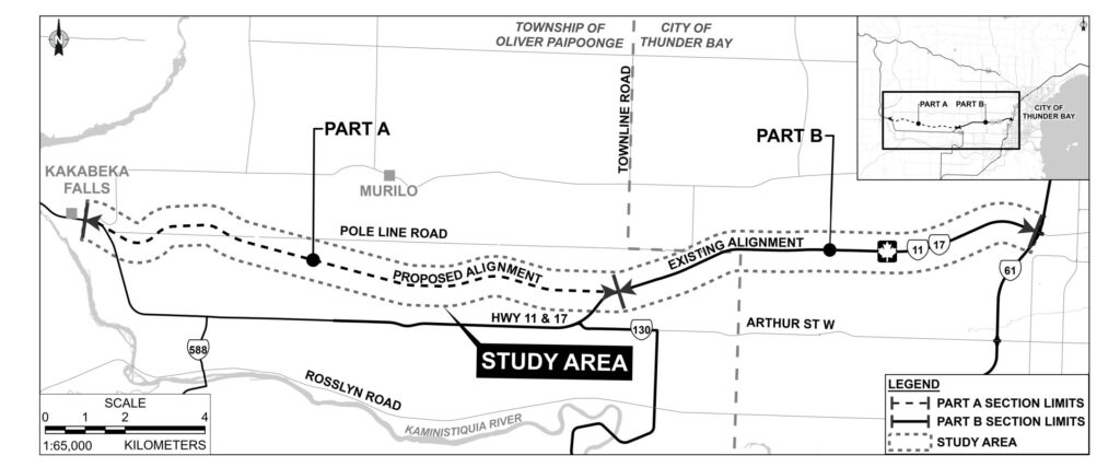
Study Area Key Plan
The study area is comprised of two corridors: Part A will consist of a new 14.0 km four-lane corridor, from Kakabeka, to just east of Vibert Road and Part B will involve 10.0 km twinning of the existing alignment easterly from just east of Vibert Road to the Thunder Bay Expressway.
Part A: 14.0 km New Four-Lane Corridor (Part A – Detailed Key Plan on Aerial)
- The existing highway is a two-lane undivided highway south of the proposed corridor with at-grade intersections and access at highways and sideroads
- Access is available at highways, sideroads, and both commercial and private entrances
- The new four-lane divided highway is planned along a corridor that was designated based on a 1979 planning study; MTO has since acquired property along the proposed corridor
Part B: 10.0 km Twinning (Widening Existing Highway) (Part B – Detailed Key Plan on Aerial)
- The existing highway is a two-lane highway with at-grade intersections and access at highways and sideroads
- This part of the highway was constructed over 20 years ago on a new alignment and includes:
- A temporary connection to the existing highway at Vibert Road/Highway 130
- A four-lane undivided section approaching the Thunder Bay Expressway
The ministry’s long-term plan for this portion of Highway 11/17 from Kakabeka Falls to the Thunder Bay Expressway is to construct a four-lane, divided, fully controlled access highway. This will improve safety and traffic flow in the area.
This preliminary design and environmental assessment builds on MTO’s previous work. We will update the preferred four-lane design as needed to reflect current conditions, review MTO’s previous commitments, and update the design to meet current MTO standards and policies.
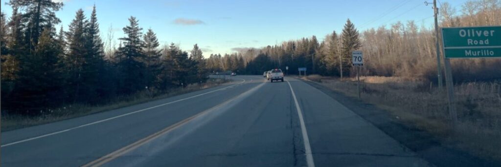
Image of Highway 11/17